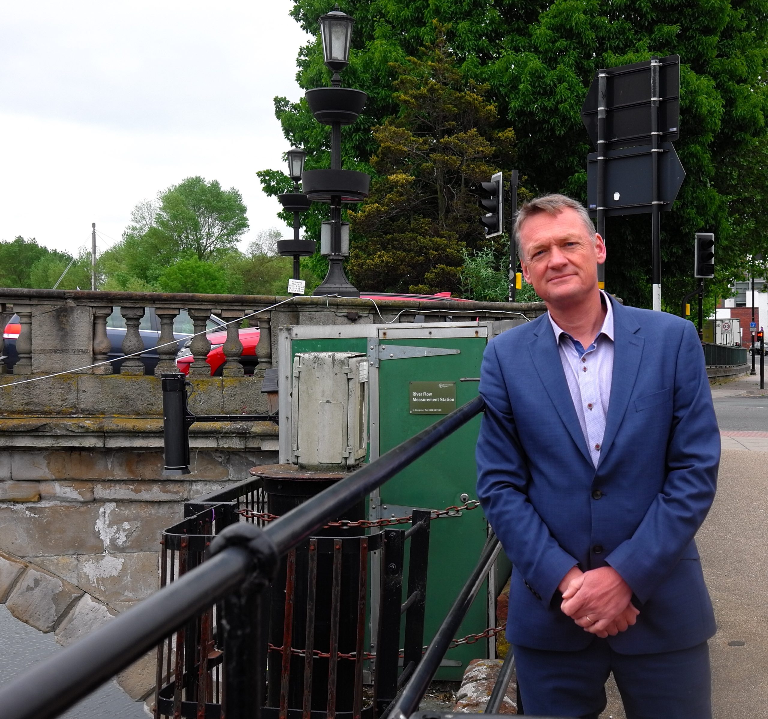
Dr Paul Ellis, Managing Director of GeoSmart Information
A leading environmental consultancy is warning of groundwater flooding across several parts of the country, months earlier than expected, because many boreholes and aquifers are already unusually high.
Dr Paul Ellis, managing director of GeoSmart Information, said its groundwater forecast from across the UKreveals the recharge season – when water seeps into the ground to replenish supplies in aquifers, which are underground bodies of rock or sediment that store groundwater – has begun early this year, due to recent heavy downpours and floods.
Dr Ellis said: “Aquifers typically don’t reach levels we are seeing now until later in December or early January. This means that river baseflow, which is supported by groundwater discharge, will be higher, leading to an increase in flood risk from river and surface water runoff, and sewer overflows.
“If the wet weather continues over the next month, then groundwater flooding could start to become an issue.”
In October, groundwater levels rose at alarming rates in many boreholes across England. In southern chalk aquifers, where groundwater flooding has been a problem historically, boreholes have typically revealed a groundwater rise of 10-30 metres since late October.
Particularly striking is the Chilgrove House borehole, which penetrates the chalk in the South Downs just north of Chichester. This showed a rise of 30 metres in under two weeks. Just to the west, the Chalton borehole showed a rise of almost 20 metres in the same period – exceeding known historical groundwater levels for that month.
In limestone aquifers in Lincolnshire and the Cotswolds, groundwater levels in October also exceeded historical levels for that month.
Currently, groundwater levels in boreholes in Lincolnshire, Yorkshire, Thames, Solent and South Downs, and Wessex, monitored by GeoSmart’s groundwater forecasting service, are in the exceptionally high range, as defined by the Environment Agency.
In Lincolnshire, boreholes penetrating limestone and chalk aquifers are currently showing levels above the 95thpercentile threshold used by the forecaster to issue warnings of potential flood impacts.
Dr Ellis warned groundwater levels in North Lincolnshire are such that groundwater flooding could become an issue by mid-December, with possible knock-on impacts on sewer discharges, which often become surcharged during high groundwater conditions.
“We have several boreholes in the Lincolnshire region that show they are exceeding their thresholds, which indicates groundwater flooding may be imminent and elevated levels of baseflow will be observed in nearby catchments,” he said.
“A further 33 boreholes across England are showing exceptionally high groundwater levels, while 10 have notably high levels, including boreholes in Kent and Surrey. These boreholes typically have a slower response time than those in the Lincolnshire limestones, showing a lagged and more gradual rise of groundwater levels in response to rainfall.
“For many of these boreholes, our forecast is indicating levels will continue to rise with potential to exceed threshold levels in mid-December if the wet weather continues. This will have possible knock-on impacts on sewer discharges, which often become surcharged during high groundwater conditions.
“When groundwater levels exceed the threshold level, we know from previous experience that groundwater flooding will start in the surrounding catchments, leading to flooded drainage systems, impacts to road links and potential property damage. Historically, the greatest flooding impacts have been when levels persisted above threshold, such as in 2000 and 2014.”
GeoSmart Information is already undertaking research into how satellite technology can help water resource management and disaster mitigation after being awarded £42,544 from the UK Space Agency in the summer.
This funding followed from its phase one project, which also won UK Space Agency funding earlier this year, that established the link between soil moisture and groundwater levels and demonstrated how observations from space can help to improve the accuracy of drought and flood forecasting.
He urged anyone with properties in potentially high-risk areas to monitor closely Environment Agency information at https://check-for-flooding.service.gov.uk/alerts-and-warnings and to check if any flood mitigation systems are needed to help protect properties.
GeoSmart’s groundwater flood and drought forecasting service uses groundwater models, borehole monitoring telemetry and weather forecasts to predict risks and provide advanced warnings to clients in the water management sector.
By identifying and alerting on flood risk GeoSmart and its team of environmental consultants is able to inform decision makers on how to prepare for floods to reduce damage and disruption. Its FloodSmart Analytics data has been used to generate data reports for every property in the country, identifying the current risk of flooding and how the intensity of flooding may change in the longer term under the impacts of climate change.